|
Credibility: ★★★★☆ 4/5
|
Threat Level: MODERATE (MODERATE — pending what’s on the seabed)
What started as a propeller inspection is now, somehow, an investigation into everything
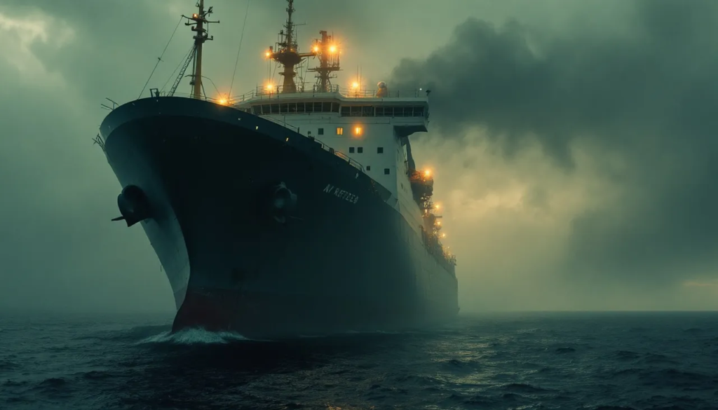
The official inquiry into propeller damage sustained by the North Sea cargo vessel MV Ørsted Carrier has been expanded three times in eleven days, and investigators have declined to explain any of the three expansions individually or collectively. What began as a review of physical damage to the ship’s twin screws — damage characterized in the original incident log as ‘consistent with large-object collision, origin unknown’ — now formally encompasses the seabed topology in a 4.2-kilometer radius around the incident coordinates, the documented horizon line at the time of the incident as recorded by the vessel’s navigational cameras, and the vessel itself, which is currently docked in Aberdeen and, according to two crew members who spoke with WTC on the condition that I not describe how I reached them, is not accessible to its own captain.
Three Expansions, No Explanation
The first expansion — adding the seabed — is the one that makes the most procedural sense, even if the scope is unusual. Something hit those propellers hard enough to leave impressions that a marine engineer quoted in the initial damage assessment described, in writing, as ‘not consistent with reef, debris, or whale.’ You look at the bottom. Fine. The second expansion — the horizon — is where I started making notes in my second notebook. At the time of the incident, visibility was recorded at approximately 14 nautical miles. The navigational camera array was functioning. Whatever investigators are looking for on that horizon, they haven’t said, but they have formally designated the footage as restricted, which it wasn’t before. The third expansion — the vessel itself — has not been explained to anyone, including the shipping company that owns it, according to a representative who told me they had received a formal notification but, quote, ‘not a formal explanation, which is a distinction we are currently pursuing through our legal team.’

The damage pattern wasn’t something I recognized, and I’ve been doing this for twenty-two years. It wasn’t a scrape. It was more like — pressure. From below, and from more than one direction at once.
— Senior Marine Engineer, name withheld, Aberdeen dry dock
Fifteen crew members were aboard the Ørsted Carrier at the time of the incident. I’ve spoken with four of them. None of them used the word Kraken unprompted — I want to be precise about that — but two of them paused for long enough before answering my follow-up questions that I’ve flagged the pauses in my notes. What they did describe, consistently, was a period of approximately four minutes during which the vessel’s onboard systems logged a series of anomalous pressure readings from the hull sensors, during which time the ship experienced what the first officer initially logged as ‘unscheduled deceleration’ before amending that entry, two hours later, to ‘mechanical irregularity, cause under review.’ The amendment is timestamped. I have a copy.
FIELD ALERT
The navigational camera footage from the time of the incident has been formally restricted by investigators. WTC has submitted a records request. As of publication, the request has been acknowledged but not processed. The acknowledgment used the phrase ‘material under active review,’ which is phrasing I have seen before and which, in my experience, tends to mean the footage contains something worth being patient about.
What The Seabed Survey Found — And What It Hasn’t Said
The seabed survey is being conducted by a team operating from a vessel I have not been able to identify by registry. What I have been able to determine is that the survey has been ongoing for nine days, that it was originally scoped for three, and that the equipment manifest — obtained through a source I am not going to describe — includes sonar array specifications that exceed what you would typically deploy for routine collision-origin mapping. You deploy that kind of sonar when you expect the topology to be complicated, or when you expect to find something that isn’t going to cooperate with a standard pass. The area of the incident sits over a section of the North Sea floor that doesn’t appear on any of the publicly available anomaly registries. That is either unremarkable or it is the most interesting thing I’ve noted this week. I haven’t decided yet.
FAST FACTS
• MV Ørsted Carrier: bulk cargo, 47,000 DWT, commissioned 2014
• Incident coordinates: North Sea, exact location restricted
• Investigation expansions: 3 formal stages in 11 days
• Crew aboard at time of incident: 15
• Days the seabed survey was originally scoped for: 3
• Days the seabed survey has been ongoing: 9
• Times investigators have publicly commented: 0
We were told the ship would be available for normal operations within seventy-two hours. That was eight days ago. We have not been given a revised timeline. We have asked.
— Shipping Company Representative, name withheld per legal counsel
I am not, at this stage, prepared to draw a conclusion about what happened to the Ørsted Carrier’s propellers on the night of the incident, or about what is on the seabed beneath the incident coordinates, or about what the horizon footage shows, or about why the vessel itself has been incorporated into a formal inquiry without explanation. What I am prepared to say is that this investigation has expanded in three formal stages in eleven days, that each expansion has been accompanied by less communication rather than more, and that the cumulative shape of those decisions — seabed, horizon, vessel — describes a perimeter. Someone is drawing a line around something. I intend to find out what’s inside it. My second notebook currently has fourteen pages on this case. I expect that number to increase.
maravane@whatthecryptid.com
Mara Vane · Senior Investigative Reporter — WTC

Larger than documented. Significantly less patient than hoped.